Groundbreaking Footage Reveals Earth’s Underlying Dynamics During Major Quake in Myanmar
A significant seismic event unfolded in March 2025, when a powerful 7.7 magnitude earthquake shook Myanmar, leaving both destruction and scientific breakthroughs in its wake. However, the most remarkable aspect of this earthquake lies not just in its magnitude, but in the unprecedented real-time footage captured by a nearby CCTV camera. This extraordinary documentation provided researchers with a rare opportunity to observe the mechanics of fault movement during a major earthquake, revealing how quickly and dramatically the Earth's crust can shift in response to tectonic forces.
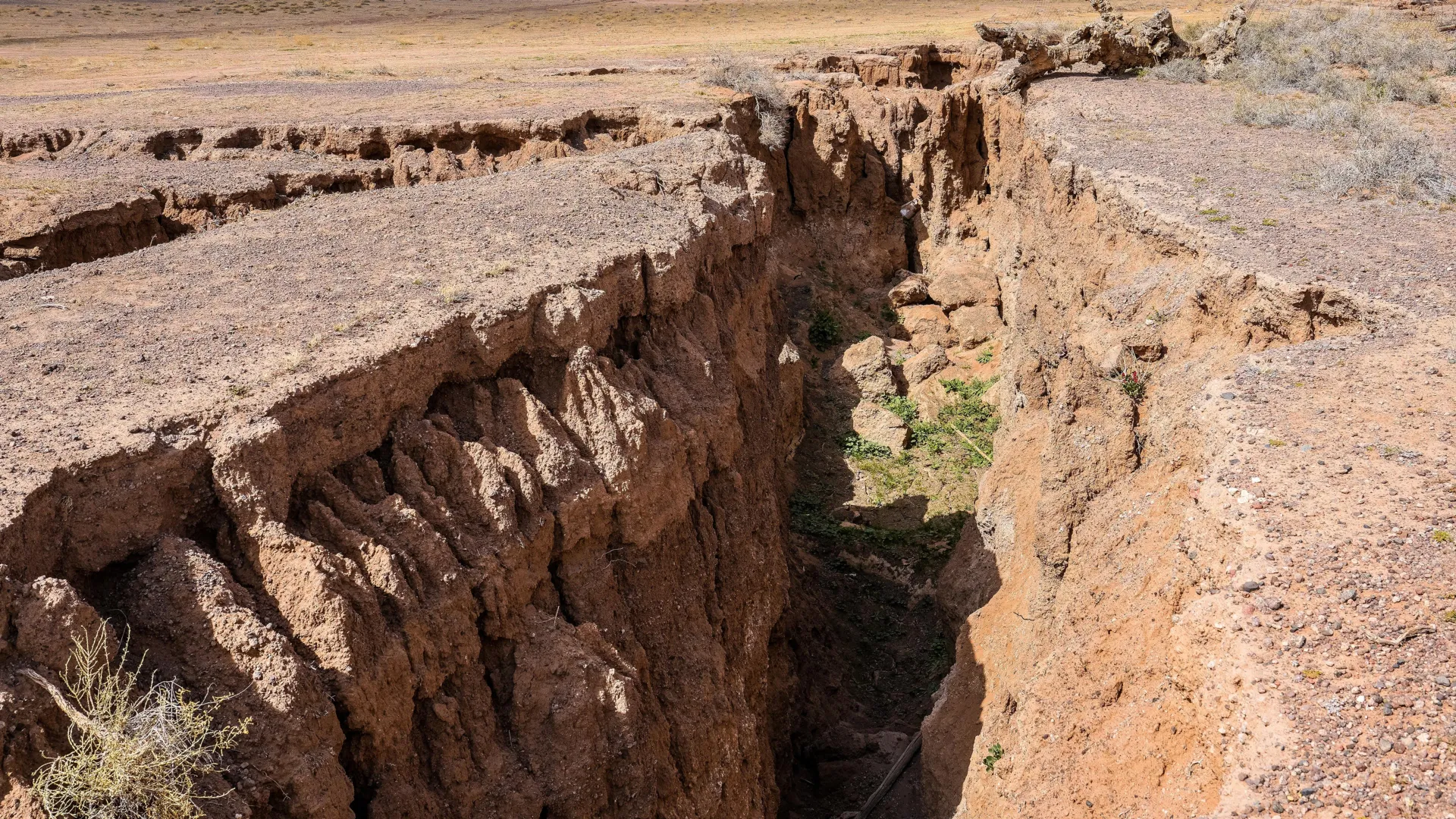
The recorded footage showcased a startling phenomenon: a fault slip measuring an astonishing 2.5 meters occurred in a mere 1.3 seconds. This rapid movement is indicative of a pulse-like rupture, a term that describes how seismic energy travels along fault lines during an earthquake. Such observations are crucial for scientists, as they enhance the understanding of fault behavior and the dynamics of earthquake propagation. The ability to visualize these events as they happen marks a significant leap forward in seismology, providing data that can inform models predicting future seismic activity.
The significance of this real-time footage extends beyond mere observation. By analyzing the captured data, geologists have gained insights into the curvature of the fault path involved in the rupture. Traditional models of fault mechanics often rely on post-event analysis, making this live observation a game changer. Understanding the curvature and movement patterns of fault lines can lead to better risk assessments for populated areas vulnerable to earthquakes. Such research is vital for developing more effective building codes and emergency response strategies, potentially saving lives in future seismic events.
In the broader context, this earthquake and its aftermath highlight the ongoing challenges posed by tectonic activity in regions like Southeast Asia, which sits at the convergence of several major tectonic plates. The Indo-Australian Plate and the Eurasian Plate collide in this region, creating a complex geological landscape that is prone to earthquakes. Myanmar, in particular, has a history of significant seismic activity, making advancements in earthquake research and preparedness paramount. The real-time footage from this event is a testament to the technological advancements in monitoring and understanding earthquakes, showcasing how modern tools can aid in capturing phenomena that were previously elusive to scientists.
Furthermore, the implications of this study extend into various fields, including urban planning and disaster management. As cities continue to grow in seismically active regions, understanding how faults behave during an earthquake is critical for infrastructure planning. Engineers and architects can use this data to design buildings that can withstand the forces unleashed by such tectonic events. Moreover, this knowledge can influence emergency response protocols, allowing authorities to better prepare for the aftermath of an earthquake and mitigate its impacts on communities.
In conclusion, the 7.7 magnitude earthquake in Myanmar not only underscored the power of nature but also provided an invaluable opportunity for scientific inquiry. The real-time footage captured by the CCTV camera represents a watershed moment in seismology, offering a glimpse into the rapid dynamics of fault movement during an earthquake. As researchers continue to analyze this data, the findings will undoubtedly contribute to a deeper understanding of seismic behavior, enhancing both preparedness and resilience in earthquake-prone regions around the world.